

In modern agricultural and construction land leveling, laser land levelers and satellite land levelers are two core pieces of equipment, but they differ significantly in working principles, precision, application scenarios, and operational requirements. Understanding these differences is key to selecting the right tool for specific tasks.
The fundamental distinction lies in their positioning and guidance technologies.
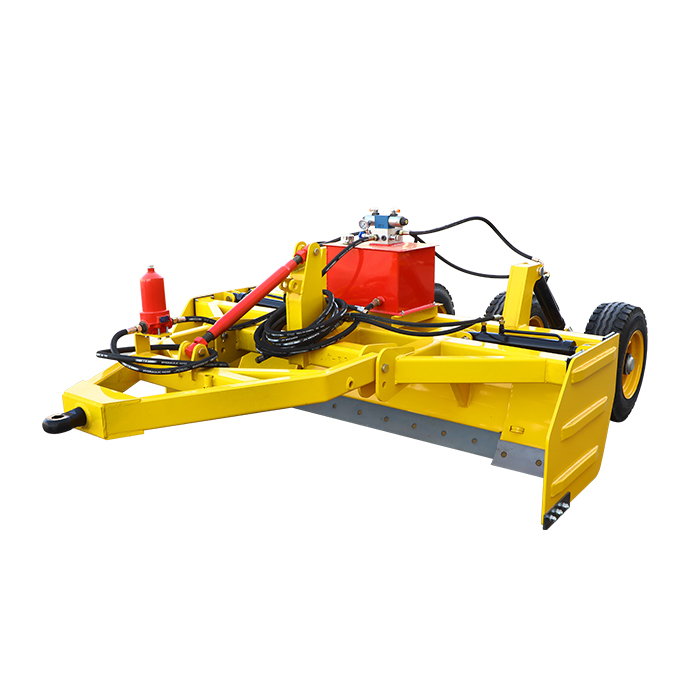
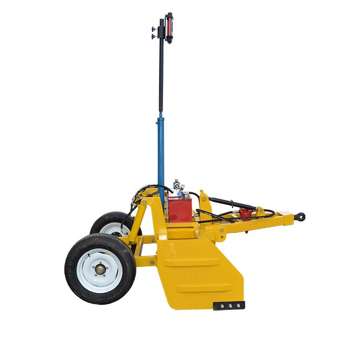
- Laser land levelers rely on a laser transmitter and receiver. The transmitter emits a horizontal laser beam over the work area. The receiver, mounted on the leveling blade, detects the beam’s position and sends real-time signals to the control system, which adjusts the blade’s height to match the laser plane. This creates a localized, stable reference for leveling.
- Satellite land levelers use Global Navigation Satellite Systems (GNSS), such as GPS or Beidou. A GNSS receiver on the machine captures signals from multiple satellites to calculate its precise 3D coordinates (latitude, longitude, and elevation). Combined with pre-loaded terrain data, the system automatically adjusts the leveling blade to achieve the target elevation, using satellite signals as a global reference.
Precision varies sharply due to their different references, directly affecting their suitability for tasks.
- Laser land levelers excel in high-precision work. Their laser plane is unaffected by external interference in small areas, delivering a precision of ±1-3 mm within a 500-meter radius. This makes them ideal for projects requiring strict flatness, such as greenhouse floors, small farm plots, or construction foundation leveling.
- Satellite land levelers have lower precision, typically ±2-5 cm. Satellite signal accuracy can be disrupted by weather or obstacles , so they are better suited for large-scale, low-precision tasks like leveling vast farmlands, highway subgrades, or mining sites.
Their design limits also shape their practical use.
- Application scope: Laser land levelers are restricted to small-to-medium areas (usually <1 square kilometer) because the laser beam’s range and stability decline over long distances. Satellite land levelers, by contrast, handle large areas (>1 square kilometer) efficiently, as GNSS signals cover vast regions without range issues.
- Operational requirements: Laser land levelers need manual setup (e.g., positioning the transmitter and calibrating the receiver) and require operators to monitor the laser signal to avoid blockages. Satellite land levelers are more automated—once the target terrain data is uploaded, the system runs independently, reducing operator workload but demanding proper GNSS signal reception.
In summary, laser land levelers are the choice for small-area, high-precision leveling, while satellite land levelers dominate large-scale, low-precision tasks. Selecting between them depends on the project’s size, precision needs, and environmental conditions.


