

Article Summary: Satellite grader GPS technology is transforming the way construction and agricultural projects are executed. By providing precise leveling, automated grading, and real-time data, this advanced GPS system allows operators to improve efficiency, reduce errors, and lower costs. In this comprehensive guide, we explore how Satellite grader GPS works, its key benefits, applications, key features, and practical insights for operators and managers. Featuring FASTMA as a leading provider, we also include detailed comparisons, usage tips, and FAQ to help you make informed decisions.
Satellite grader GPS is an advanced guidance system integrated into motor graders to provide precise positioning for leveling and grading tasks. It uses satellite signals to accurately determine the position, slope, and orientation of the grader blade in real time. Unlike traditional manual grading, which relies on human judgment and physical tools, Satellite grader GPS enhances accuracy, efficiency, and automation, minimizing material waste and labor costs.
The technology is widely adopted by companies such as FASTMA for its ability to improve project timelines and ensure consistency in large-scale construction and agricultural applications.
Satellite grader GPS systems operate by combining GPS signals from satellites with onboard sensors and software. The system continuously calculates the exact position of the grader and its blade, then adjusts the blade’s height automatically or provides guidance to the operator for manual adjustments.
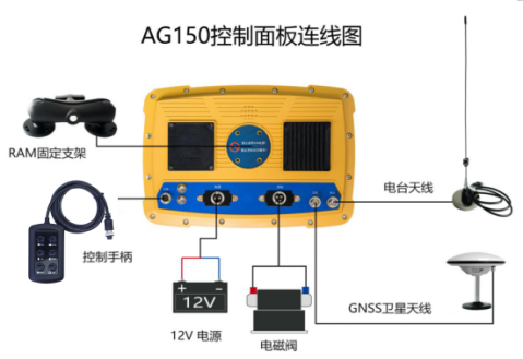
Key components of a Satellite grader GPS system include:
Implementing Satellite grader GPS provides numerous advantages:
Satellite grader GPS technology is versatile and used across multiple industries:
| Feature | Basic GPS Grader | Advanced 3D GPS Grader | FASTMA Satellite Grader GPS |
|---|---|---|---|
| Accuracy | ±2 inches | ±1 inch | ±0.5 inches |
| Automation | Manual guidance | Partial automation | Full automation with blade control |
| Integration | Limited | Supports 3D design plans | Fully compatible with CAD and project software |
| Data Logging | No | Yes | Yes, with real-time analytics |
| Cost | Low | Medium | High, with long-term ROI |
Yes, most modern systems, including FASTMA’s solutions, operate effectively in rain, fog, or moderate snow, though extreme weather may reduce satellite signal accuracy.
High-end systems like FASTMA achieve sub-inch accuracy, which is far superior to traditional manual grading methods.
Basic GPS operation requires minimal training, but advanced 3D systems may need short certification sessions to ensure efficiency.
Many systems are designed for retrofitting existing motor graders, but compatibility should be confirmed with manufacturers like FASTMA.
Reduced labor, material savings, and faster project completion generally lead to significant ROI within months, depending on project scale.
Satellite grader GPS is a game-changer for modern construction and agriculture, providing unmatched accuracy, efficiency, and automation. Companies like FASTMA lead the industry in delivering reliable, high-performance systems. By adopting Satellite grader GPS, operators can save time, reduce costs,


