
Xingtai Farming First Agricultural Machinery Co., Ltd. explores how the Satellite Land Leveler is changing large-scale farmland management by improving accuracy beyond traditional laser systems.
As farms continue expanding in size, achieving consistent field leveling has become a major challenge affecting irrigation efficiency, crop growth, and operational costs. Traditional leveling technologies have helped improve farmland preparation for decades, but their working range and environmental adaptability can create limitations in very large fields. With the development of satellite positioning technology, GNSS-based leveling equipment is providing a new approach for modern agricultural operations.
Land leveling is one of the most important preparation steps before planting. Uneven farmland can cause water accumulation in some areas while leaving other sections too dry. This uneven distribution increases water consumption, affects seed germination, and makes crop management more difficult.
For small and medium-sized fields, conventional laser leveling equipment can usually provide reliable performance. However, when farmland expands to hundreds or thousands of acres, several practical issues become more noticeable:
| Challenge in Large Farmland | Impact on Agricultural Operations |
|---|---|
| Limited signal coverage distance | Difficult to maintain consistent leveling accuracy across very large areas |
| Obstacles such as trees, buildings, or uneven terrain | Possible interruption of laser communication |
| Frequent setup and adjustment requirements | Increased preparation time before operation |
| Dependence on clear line-of-sight conditions | Reduced flexibility in complex environments |
These challenges have encouraged agricultural professionals to look for solutions that can provide stable positioning information across wider areas.
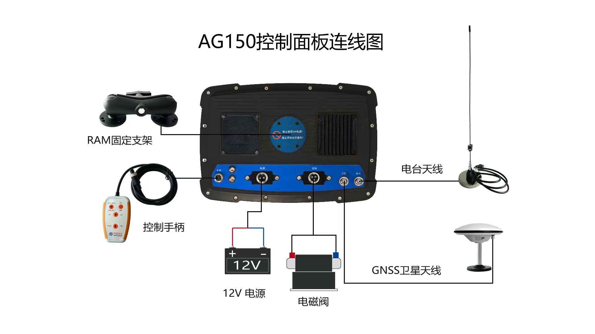
GNSS technology uses satellite positioning signals to determine the exact location and elevation information of agricultural equipment. Unlike traditional laser systems that require direct communication between a transmitter and receiver, satellite-based systems can cover much larger working areas without depending on a fixed laser reference point.
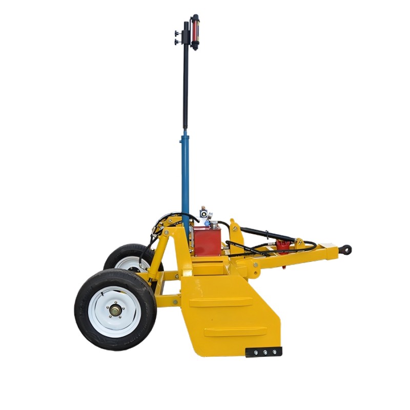
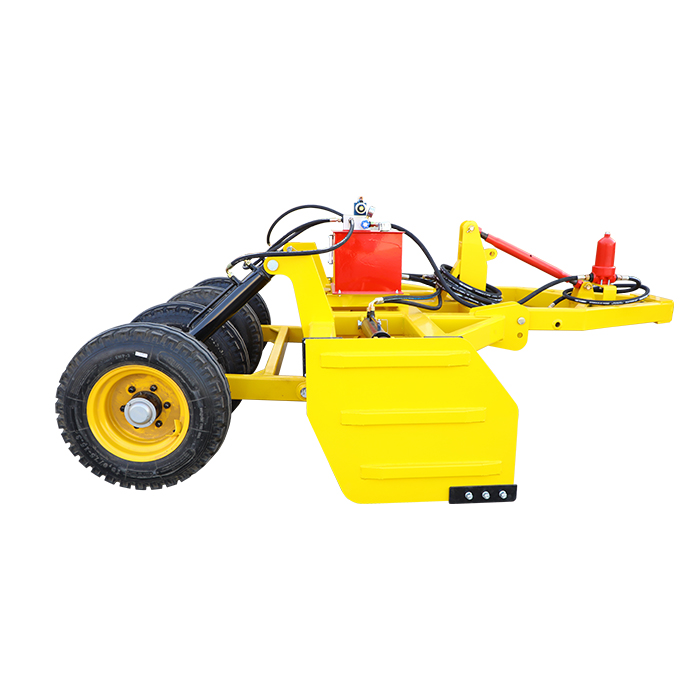
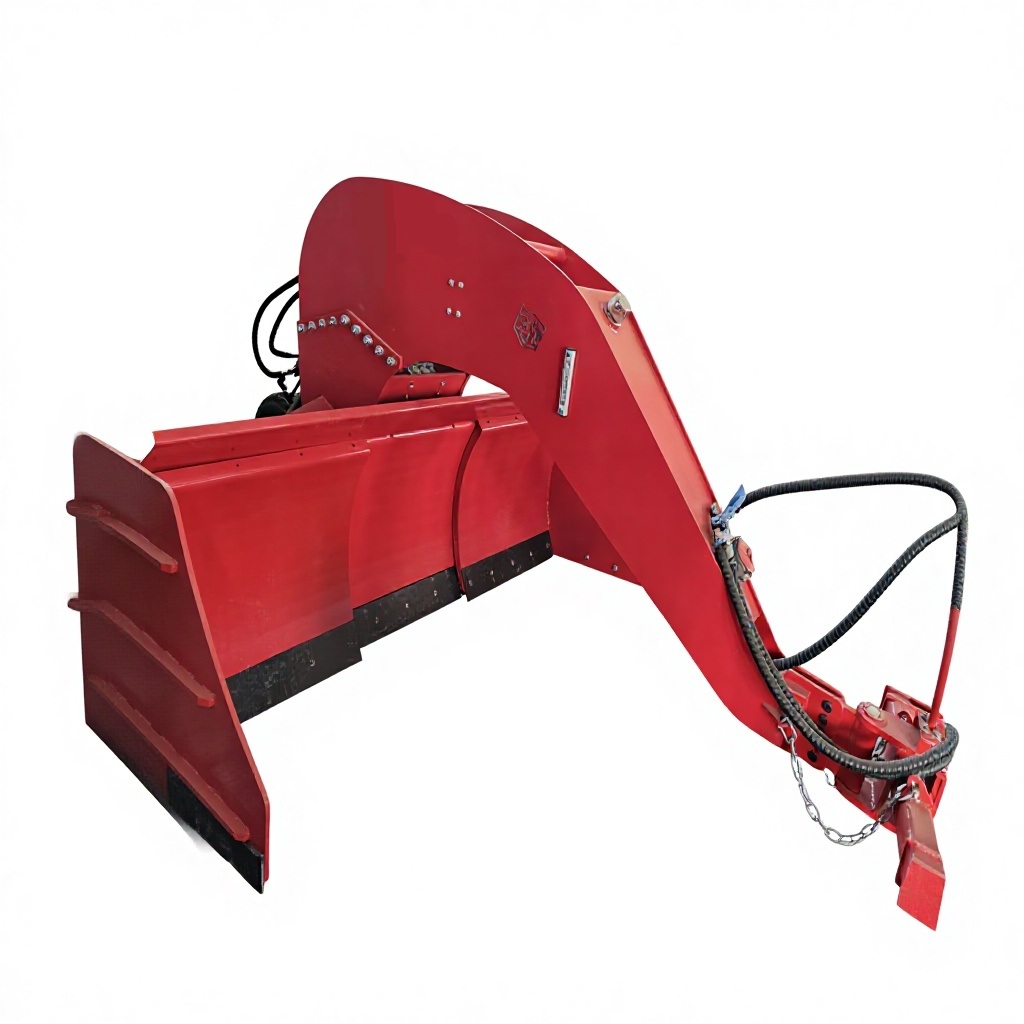
A modern Satellite Land Leveler combines satellite positioning, control systems, and hydraulic adjustment technology. During operation, the equipment continuously compares the actual field surface with the planned land design. The system then adjusts the leveling blade automatically to remove high areas and fill low areas.
This process helps create a more uniform field surface, especially in large agricultural zones where maintaining consistent elevation manually would be difficult.
The main advantage of GNSS leveling technology is its ability to provide wider operational coverage. Large farms often contain different soil conditions, changing terrain, and complex layouts. A satellite-based system can maintain positioning information over broad areas, reducing the need for repeated equipment relocation.
Compared with traditional laser-based methods, GNSS solutions offer several practical improvements:
| Feature Comparison | Traditional Laser Leveling | GNSS Satellite Leveling |
|---|---|---|
| Working area | Limited by laser transmitter range | Suitable for large-scale farmland |
| Signal requirement | Needs direct line between transmitter and receiver | Uses satellite positioning data |
| Field adaptability | Can be affected by obstacles | Better flexibility in open agricultural environments |
| Operation preparation | Requires setup of laser reference points | Faster positioning preparation |
| Large field consistency | Requires additional adjustments | Maintains positioning across wider areas |
For agricultural operations involving extensive farmland, these advantages can reduce downtime and improve overall field preparation efficiency.
One of the biggest benefits of accurate land leveling is improved irrigation performance. When the farmland surface is more consistent, irrigation water can move more evenly across the field. This reduces areas with excessive water and helps prevent dry spots.
Better leveling can support:
As agriculture moves toward precision farming, accurate land preparation has become an important foundation for improving resource efficiency.
Founded in 2015, Xingtai Farming First Agricultural Machinery Co., Ltd. focuses on the research, development, production, and application of agricultural machinery. Located in Nangong, Xingtai City, Hebei Province, the company operates modern production facilities and develops various agricultural solutions, including land leveling equipment, tractors, spraying machinery, spreading machinery, lawn maintenance equipment, and planting tools.
With more than ten years of international experience in agricultural machinery development, the company has continued improving equipment performance through practical farming needs. Its production system follows quality management requirements and includes ISO system certification and CE product certification to support reliable agricultural applications.
The company’s agricultural machinery is designed around common farming challenges, including reducing labor intensity, improving operational efficiency, and supporting more sustainable agricultural practices.
The application of satellite positioning technology is not limited to farmland leveling. Modern agricultural machinery increasingly integrates intelligent systems to improve accuracy and productivity.
Examples include:
| Equipment Type | Main Agricultural Function |
|---|---|
| GNSS leveling equipment | Creates accurate farmland surfaces for irrigation and planting |
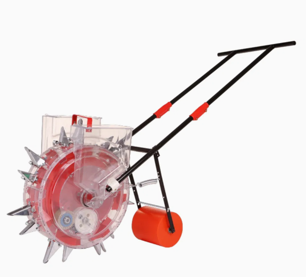
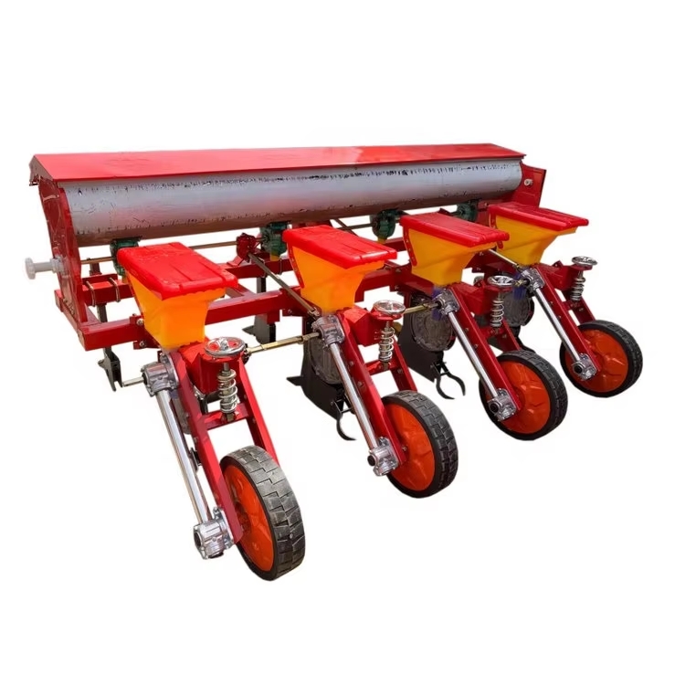
| Precision seeders | Improves seed placement consistency |
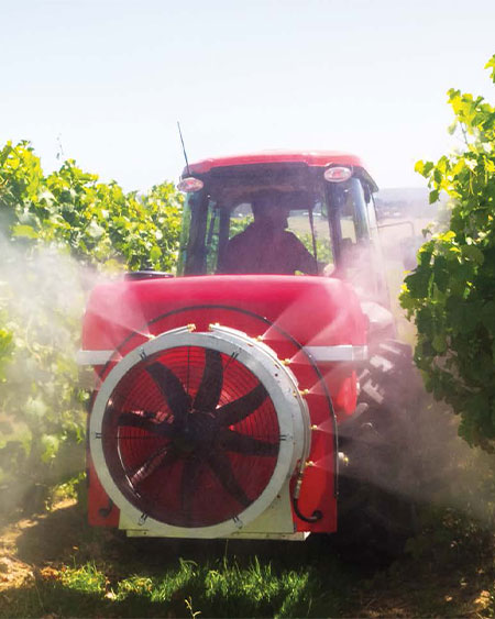
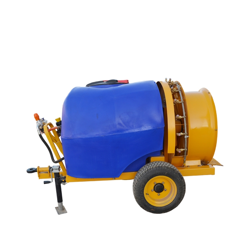
| Spraying machinery | Supports more accurate crop protection |
| Fertilizer spreaders | Helps achieve balanced nutrient application |
| Smart tractors | Improves field operation efficiency |
This development reflects a wider trend toward smarter agriculture, where digital technology works together with traditional farming experience.
As agricultural land management becomes more data-driven, equipment accuracy and adaptability will continue to influence farming efficiency. Large farms require machinery that can handle wider working areas while reducing unnecessary adjustments and resource consumption.
GNSS satellite positioning provides a practical solution because it combines broad coverage with automated control. It does not completely replace every traditional method, but it offers clear advantages in situations where large field size and complex conditions create limitations.
The increasing adoption of intelligent agricultural equipment shows that precision farming is moving from advanced concepts into everyday agricultural operations. Through technologies such as the Satellite Land Leveler, Xingtai Farming First Agricultural Machinery Co., Ltd. continues contributing to more efficient and reliable farmland preparation solutions for modern agriculture.